|
|
|
This site is owned, designed, and operated by Kenneth A. Larson who has over a quarter century of experience in design and construction of scenery for the Entertainment Industry and Theme Parks using Computer Aided and Traditional approaches to Design. Ken also has experience in other areas of Design.
|
|
Select photographs of my many visits to The Missions of the United States South and Southwest built by Spain and Mexico between 1565 and 1823. All photographs taken by Kenneth A. Larson. All rights reserved. © 2008 - 2013. |
| Explanation. |
| Back | Texas Home Page | U. S. Home Page |
| Previous Mission | By Founding Date | Next Mission |
| Home Page/Map |
Founded XXXX
|
Personal Observations |
 Mission Art & Photo-Art |
|
xxxx Asistencia Main Page |
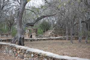
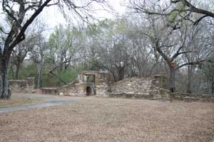
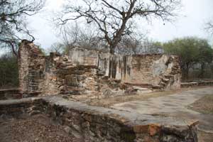
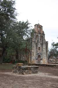
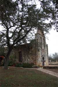
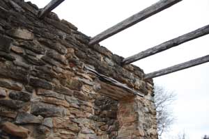
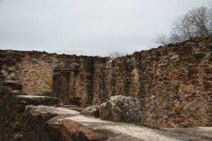
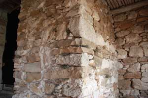
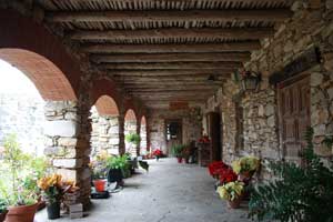
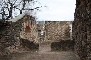
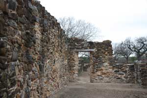
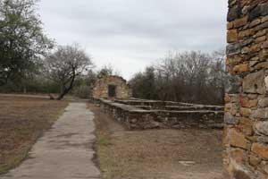
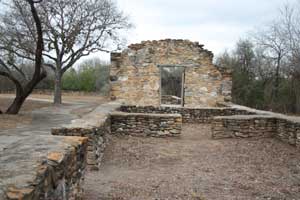
Grounds |
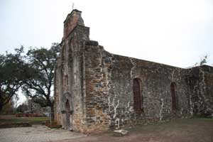
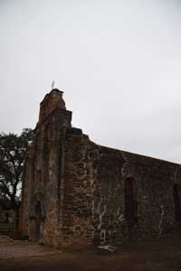
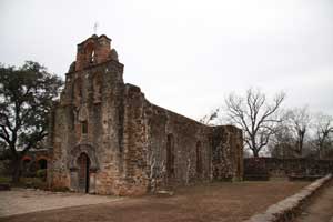
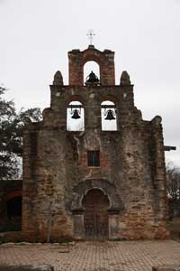
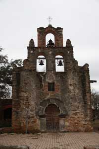
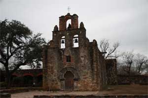
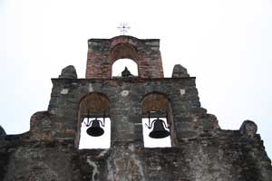
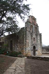
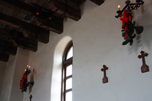
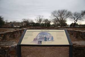
Church |
|
|
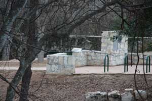
Exhibits |
Cemetery |


|
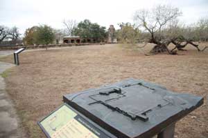 |
| Bronze model is durable and can be understood by seeing impaired. | |

|
|
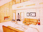
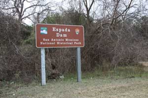
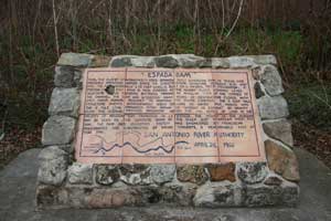
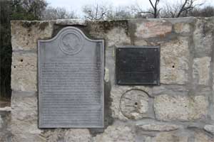
| Espada Dam. Sign (left) and information plaque (right). | |
|
|
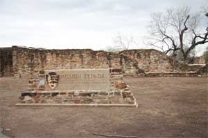
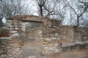
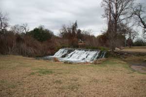
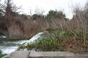
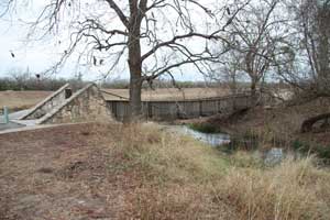
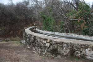
| Espada Dam, part of the Mission aqueduct system. | |
|
|
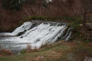
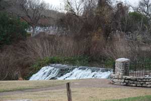
| Espada Dam, part of the Mission aqueduct system. | |
|
|
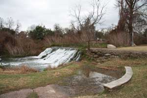
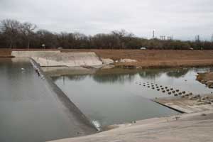
| Modern dam a short distance from the Mission dam. | |
|
|
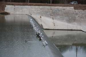
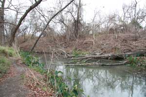
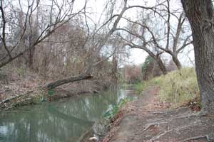
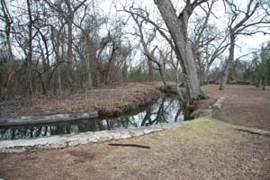
| San Antonio River below the Mission dam. | |
|
|
| San Antonio River below the Mission dam. | |
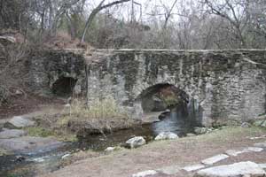
| The Espada Aqueduct was part of an extensive system of irrigation ditches. Called acequias, this system provided water to the Mission and its fields. |
| Glossary of words relating to the aqueduct with pronunciation key: | |
| acequia (ah-say-kaya) | Moorish-Spanish word describing an irrigation system. |
| acequia afuera (ah-say-keya ah-foo-eh-ra) | Ditch which served as a main water supply to outer fields, smaller than the acequia madre (mother ditch), yet supplied smaller canals eventually returning to the river. |
| acequia en medio (ah-say-keya n meh-diio) | The middle ditch. It supplied smaller canals in the middle fields. |
| acequia madre (ah-say-keya mah-drea) | The Main ditch or canal of the acequia system. |
| azud (ah-zood) | A low simply constructed dam designed to raise the water level of a river for irrigation purposes. |
| aqueduct | A a structure conveying a water channel over a depression or river. |
| conoa (ka-no-wa) | A hollowed-out log through which water flowed. |
| saca de agua (sah-ka-deh-ah-gua) | A location on a river suitable for the outlet from which water was drawn to feed the acequia. |
| desague (deh-za-guay) | A small canal which collects the excess water from the labores or talerals ditch for return to the river or another canal. |
| dula (doo-lah) | One day of watering. The amount of water allotted to an individual was measured in dulas or 1/2 dulas. Dula means "rotation" or "turn". |
| head gate | The main gate nearest the river in an acequia, used to regulate the flow of water. |
| sluice gate | A gate that controls the flow of water in an irrigation system. |
| labores (lah-boh-res) | Cultivated farmland. |
| aguador (ah-gua-dore) | The ditch director. The water master who apportioned water from tne acequias. |
| mayordomo (mah-yor-doe-mo) | The ditch director. The water master who apportioned water from tne acequias. |
| presa (preh-sa) | A Dam. |
| suertes (swear-te) | A plot of land, the lots were determined by a drawing, and the term suerte means "luck". |
| surcos (su-oor-kos) | Small furrows which carried water from the lateral. |
| dioptra (diah-pahtra) | An equal-lateral triangle shaped tool to measure the grade of the ditches through the use of a string and plumb bob handging frm the apex of the triangle. |
|

|

|
|
|
|

|

|

|
| Note:This is not the official site for any of the places shown in US Mission Trail. US Mission Trail is not responsible for accuracy of the information. Hours of operations, prices, and exhibits are subject to change without notice. |
|
Support this Web Site I hope that you find this web site helpful. It started because of my love for the California Missions and interest in History and a desire to share my photographs and tales of my adventures. I don't allow paid advertising. This web site is for your benefit and enjoyment and I make no profit on it. For twenty years it has been supported primarily from my regular paycheck as a Set Designer. A non-tax deductable donation helps cover the cost of operating this web site and may be made to Kesign Design Consulting through PayPal. | ||
|
If you are in the need of a designer, please see my Set Designer portfolio site Set Design Portfolio. |
| Or donations can be mailed to the address on the contact page. |
|
Links
Home |
Contact |
Sales |
Ken Larson |
K L Images |
Places Earth
|

|
This site maintained by Kenneth A. Larson. Copyright © 2004 - 2023, Kenneth A. Larson. All Rights Reserved. Website content including photographic and graphic images may not be redistributed for use on another website. |

|

|

|